I am just finishing up the olive harvest and now have time to post on the hike Bacco and I did last weekend. The 15.5 km/9.6 mile Dogana loop hike starts at the Forca di Presta under Mt. Vettore and very near a rifugio or refuge where you can get a meal or stay the night during summer season. The hike is a bear only because of its distance, but I will help you avoid that problem, if you want to cut it a bit shorter.

A look back from the road which leads up to the Belvedere below. Her you see Mt. Vettore on the right and Cima del Lago and Redentore on the left

From the Belvedere above which labels all the mountains in the distance for you, we headed straight across the road and up the slopes of Mt. Macchialta. From its flanks you get great views of the plateau of Castelluccio below (famous for lentils, flowers in late June and its beauty year-round), and also the regions of the Marche, Umbria, Lazio and Abruzzo-like the 4 corners region.

As always, Bacco arrives first at the summit, this one Mt. Macchialta

Below is the view back towards the east and Abruzzo


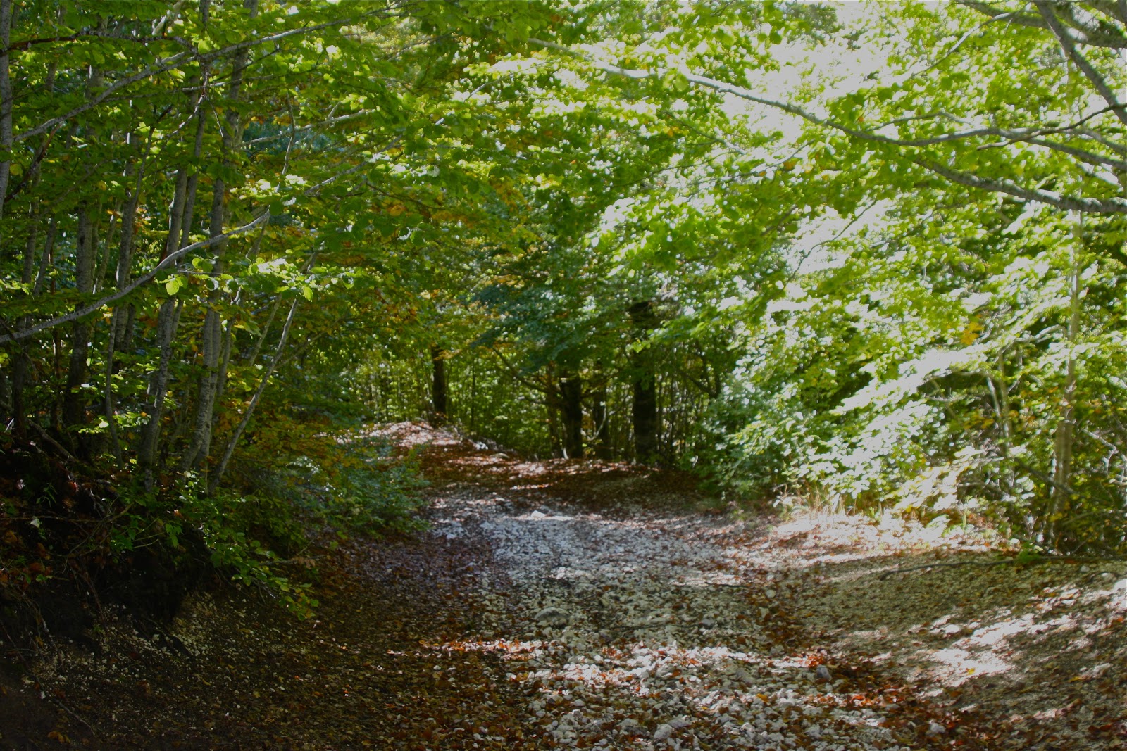
The above picture is important as you can see the short route to return to your starting point in the mid right portion of the photo. If you are using Gillian Price's guide book "Italy's Sibillini National Park-Walking and Trekking Guide" you will see on the map an inverted "v" in the trail which skirts Colle del Lupo, located below Mt. Macchialta. When you get to the apex of that "v" if you turn right at the T crossing instead of left which takes you into the beech forest below, you will arrive at the trail to take you back on the other side of the crest you walked under to arrive here and avoid the majority of the distance this hike requires.
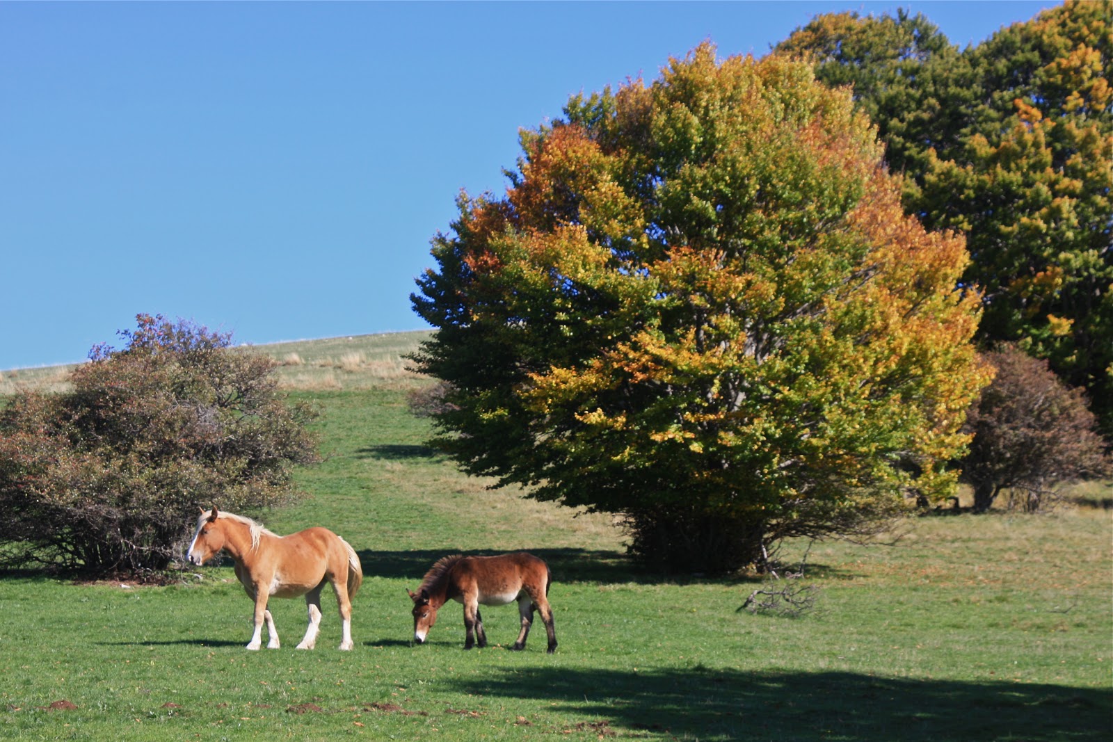
But, if you take the shortcut, you will miss the horses, the bitty ski slope and refuge at Colle le Cese (where you may also enjoy a lunch) and the fonte del Vescovo, the silo and house of Amati, etc. Are those worth the tired legs of 5km of walking in the flat? Only you can decide, with help from the photos below.
Bacco showing the fountain, with the silo in the distance. (below)


The little lake above and the house I have often seen from the road into Castelluccio, called Casotto Amati with the mountains of Cima del Lago and Redentore above

Finally, from the hills around the plateau of Castelluccio, you may often notice hang gliders or parasailers, I guess they are more correctly called, beautiful cloud formations and the occasional traffic jam as you see in the last pic.


I am glad I did this hike once, but if I was doing it again, I would take off from the refuge at Forca di Presta and climb up on the ridge to the west and head off towards the most southern peak in this little chain, Mt. Macchialta. This would save you a km, maybe by not following the curves of the road, but you would miss the Belvedere. The views down to Castelluccio would be better however. I would also take the shortcut back as the 5.6 km (my estimate was about 3.5 miles) slog through the plain called Dogana is looong. In the summer you need to bring at least 2, if not 3 liters of water. I know you could fill your canteen at the fountain, but I am superstitious (I am sure it is potable, but my mom got Giardia once in Colorado and it makes me cautious-the italians drink freely from these fountains without any bad effects, I must admit). The views from the Dogana, you can get from many other angles and without the extra work.
1 comment:
Looks to be a beautiful hike, and lunch at the refuge sounds appealing. Bacco is the perfect companion, enthusiastic and uncomplaining.
Post a Comment